Water resources and wetlands. 14-16 September 2012, Tulcea (ROMANIA)
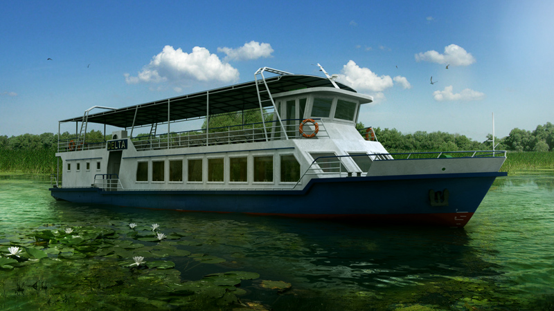
Excursion
The excursion will take place on the Danube Delta. The interested participants should register for excursion at on-line registration and pay the excursion fee together with conference fee. The excursion fee includes transport and lunch costs.
The actual area of Danube Delta is 4,455 square kilometers and most of it spreads on Romania`s territory, i.e. 3510 km square (84%). The former Halmyris bay area, where Razim-Sinoie lake was grafted, is, 1,015 square km (of which lakes represent 863 square km). Together, the two geographical units have an area of 5470 square kilometers.
According to many Romanian and foreign scientists, the Danube Delta was formed in a bay of the Black Sea starting in Upper Pleistocene. At this stage a coastal belt was sketched, called the "initial belt", which was considered to have started in the center, in 16,000 BC and continued until 7,500 BC. The formation of this initial belt, which corresponds to the central axis of the Jibrieni, Letea, Caraorman and Crasnicol banks alignment, closed the bay, turning it into a lagoon. Delta was evolved in close connection with the three arms – St. Gheorghe, Sulina and Chilia. The three arms have different ages, the oldest being St. Gheorghe, in the South and the youngest, in the North, named Chilia.
The differentiation of the delta area, from the first bifurcation to the seashore and between the main arms, is the result of a long-time evolution that led to the formation of levees, lakes, streams and amphibious land, and respectively, ecosystem. Science the delta ecosystems are in close interaction, all influenced by Danube River, and the solar energy, this abiotic ensemble is considered a system, an over-ecosystem level of matter organization.
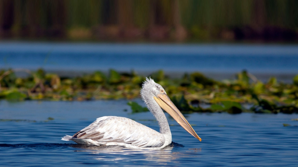
As a young region continuing to grow, the Danube Delta is a favorable place for developing a unique flora and fauna in Europa, with many rare species. Due to its predominant aquatic environment, the fauna and flora will therefore be aquatic, although the terrestrial environment is also presented, represented by the Letea, Caraorman, Stipoc, Saraturile and Campul Chiliei levees, dry area that enable the developing of flora and fauna specific to Eastern European steppes with Mediterranean influences.
Between these two environments (aquatic and terrestrial), the swamp, flooding environment is interposing, being the carrier of a flora and fauna, with possibilities of alternative adaptation (water, land), depending on the seasonal and annual hydrologic regime. At the contact point of the freshwater and the sea water, outstanding physical, chemical and biological processes occur, prompting biologists to consider these coastal waters as a special ecosystem, called “avandelta”. Musura Bay and Meleaua Sfantu Gheorghe are most representative in this type of ecosystem.